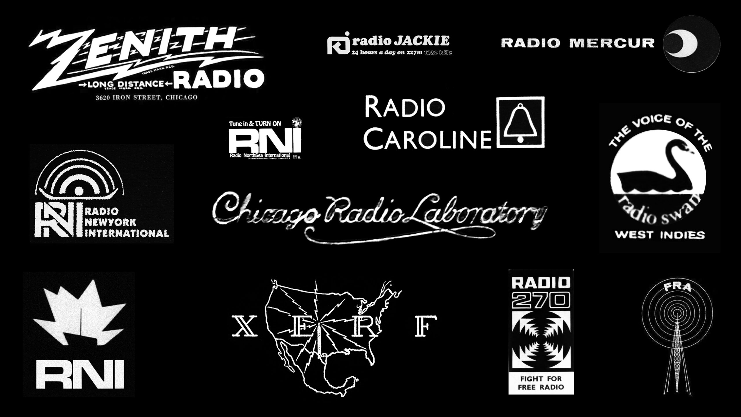
In honor of World Radio Day, we are republishing our deep dive on classic pirate radio station logos and releasing a new educational music single from our comms crew. Enjoy, and happy World Radio Day! Swan Island Beach Radio Tower, 1960 by The Department of Information This article was originally published on April 23rd, 2021. […]

Yo-Ho-Ho and a Bottle of Wavelengths: Pirate Radio Logos of the 20th Century
February 13th, 2026 |


